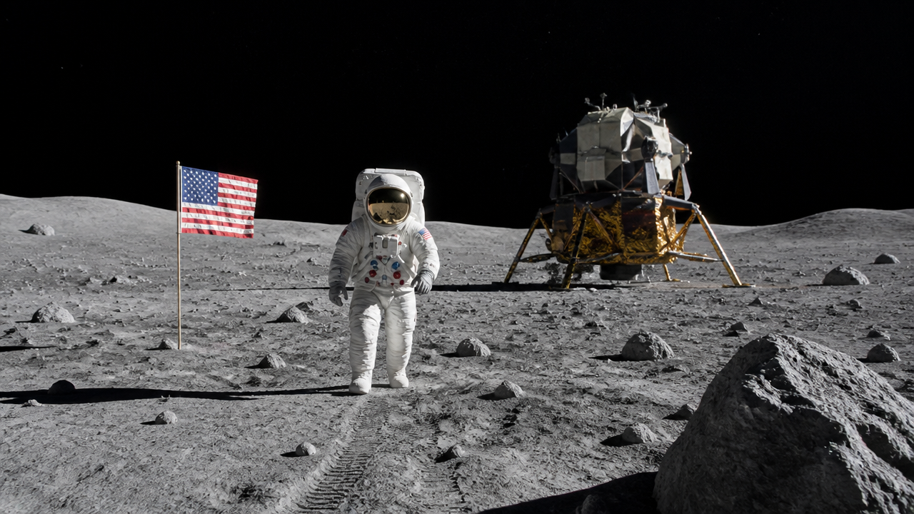
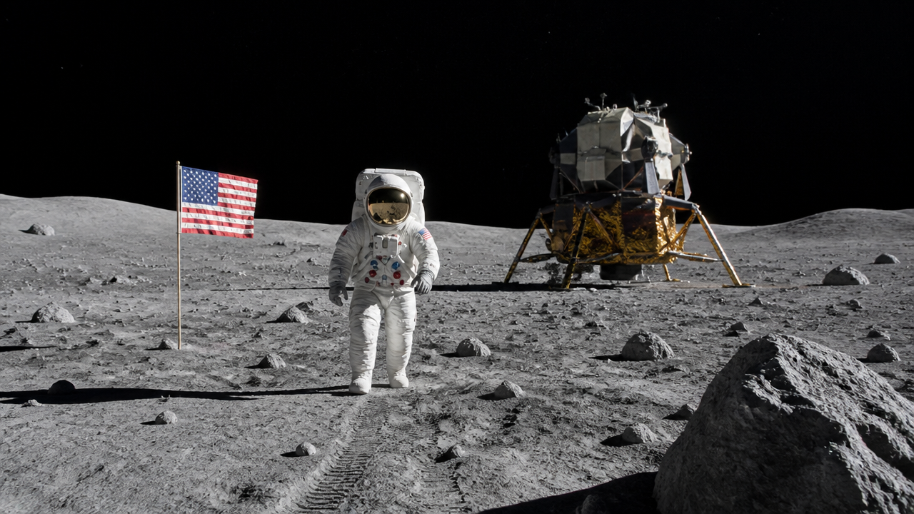
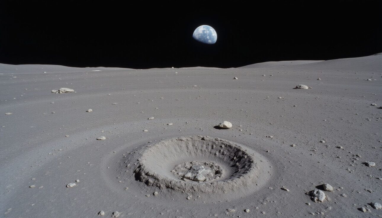
On July 20, 1969, Neil Armstrong and Buzz Aldrin piloted the Lunar Module Eagle to a flat, relatively safe region of the Moon known as the Sea of Tranquility. This location wasn’t chosen randomly—it was selected after years of orbital surveys and careful mission planning to minimize hazards during humanity’s first lunar landing. The landing site, officially called Tranquility Base, sits at the southwestern corner of Mare Tranquillitatis and remains one of the most precisely documented coordinates on any celestial body. Understanding where and why Apollo 11 landed reveals both the technical precision of 1960s space exploration and the strategic thinking that went into selecting a safe touchdown zone. We’ll examine the exact coordinates, the terrain that greeted the astronauts, and what they accomplished during their 21.5 hours on the lunar surface.
One detail often left out of the story: the Lunar Module didn’t set down where the guidance computer was aiming. A navigation error meant the descent engine’s ignition point occurred a few miles off-target, sending Eagle toward the boulder-strewn ejecta field around West Crater. Armstrong ended up landing roughly 550 meters west of West Crater itself, and about 60 meters west of a smaller crater later named Little West—the same crater he walked out to photograph during the moonwalk.
Quick Questions and Answers
Question: Where did Apollo 11 land on the moon exactly?
Apollo 11 landed in the Sea of Tranquility, specifically at a site named Tranquility Base in the southwestern part of Mare Tranquillitatis. The precise coordinates are approximately 0.674°N latitude and 23.473°E longitude. Astronauts Neil Armstrong and Buzz Aldrin touched down there on July 20, 1969, about 4-6 km from the originally intended landing point due to a navigation error.
Question: Why was the Sea of Tranquility chosen for Apollo 11?
The Sea of Tranquility was selected because it is a relatively smooth and level area, making it a safe location for the first human lunar landing. It had been surveyed by Apollo 10 and was considered flat enough to avoid major hazards. However, it still contains some craters, requiring Armstrong to manually pilot the module to avoid the boulder field surrounding West Crater during the final descent.
Question: What is the name of the Apollo 11 landing site?
The landing site is officially called Tranquility Base, or Statio Tranquillitatis in Latin. It is located in the southwest corner of the dark lunar plain known as Mare Tranquillitatis, the Sea of Tranquility. This site marks the first place humans walked on a celestial body other than Earth in July 1969.
The Sea of Tranquility: Setting the Stage for the First Moon Landing
The Sea of Tranquility isn’t actually a body of water—it’s a large, relatively flat basaltic plain created billions of years ago by ancient volcanic activity on the Moon. When mission planners at NASA were deciding where to land Apollo 11, they needed a location that was both scientifically interesting and operationally safe. The Sea of Tranquility fit perfectly. According to NASA’s Apollo 11 mission overview, the lunar location was selected as Mare Tranquillitatis.
NASA had actually surveyed five candidate landing sites strung along the lunar equator, numbered 1 through 5 from east to west, before narrowing the choice down. Site 2, centered at roughly 0.714°N and 23.708°E, was ultimately selected as the prime Apollo 11 target. Because a precision landing wasn’t guaranteed on this first attempt, mission planners built in a generous target ellipse measuring about 18.5 km east-west by 4.8 km north-south, giving Armstrong and Aldrin room to adjust if needed.
Prior missions, particularly Apollo 10 in May 1969, had orbited the Moon and photographed potential landing sites in high detail. These reconnaissance flights confirmed that the Sea of Tranquility possessed the relatively smooth terrain needed for a safe landing. The plain stretches across a vast area, and within it, mission controllers identified a specific target zone where Armstrong and Aldrin would attempt to set down the Lunar Module Eagle.
On July 20, 1969, at approximately 20:17 UTC, the Lunar Module touched down on the lunar surface. Armstrong and Aldrin had completed the most critical phase of the entire Apollo 11 mission—the powered descent. They spent the next 21.5 hours on the Moon, conducting experiments, photographing the landscape, and collecting samples. The mission was meticulously planned, yet the actual landing required Armstrong to take manual control during the final moments to avoid a boulder-filled crater that posed a landing hazard.
Precise Landing Coordinates: Why Data Variations Exist
The most widely accepted scientific coordinates for the Apollo 11 landing site are 0.67408°N latitude and 23.47297°E longitude. These figures come from long-term tracking of the Laser Ranging RetroReflector (LRRR) that Armstrong and Aldrin left on the Moon. The Planetary Society documents the landing coordinates as 0.67416 degrees N and 23.47314 E, which represents a refinement based on modern measurement data.
Why do different sources cite slightly different coordinates? The answer lies in how lunar positions are measured and refined over time. When Apollo 11 was launched, GPS and satellite positioning didn’t exist. Mission control used trajectory calculations and visual observations from orbit to estimate where the Lunar Module would land. The originally planned target, Site 2, was centered around 0.714°N and 23.708°E—noticeably different from where Eagle actually touched down, because a combination of residual thruster pressure and an imperfectly modeled lunar gravity field pushed the spacecraft’s actual descent path off course.
After the landing, scientists on Earth could track the retroreflector left behind using laser pulses fired from observatories on Earth and reflected straight back. Over decades, this retroreflector became an invaluable tool for refining the exact position of Tranquility Base to within a couple of meters. As measurement technology improved, so did the accuracy of the coordinates. The slight variations you see in different sources—whether 0.674° or 0.67408°—reflect differences in measurement technique and when the data was recorded, not errors or disagreements about the landing location.
Surface Activities and Mission Duration
Armstrong and Aldrin spent exactly 21.5 hours on the lunar surface, though only a portion of that time was devoted to exploring outside the Lunar Module. They conducted a single, historic Extra-Vehicular Activity (EVA)—a spacewalk on the Moon—that lasted approximately 2 hours and 31 minutes. During this time, Armstrong became the first human to step onto another celestial body, followed by Aldrin about 19 minutes later. The astronauts stayed within roughly 60 meters of the Lunar Module for the entire moonwalk.
The astronauts weren’t simply taking photographs and enjoying the view. They collected about 21.5 kilograms of lunar soil and rock, and deployed a small package of scientific instruments known as the Early Apollo Scientific Experiments Package. This included a Passive Seismic Experiment Package (PSEP) to detect moonquakes, the Laser Ranging RetroReflector (LRRR) used ever since to measure the Earth-Moon distance with pinpoint accuracy, and a solar wind composition experiment that captured particles streaming from the Sun. Every ounce of the returned material had to be carried back to Earth in the Lunar Module, making weight a critical constraint.
One significant finding emerged from the samples: the Moon’s surface was far less dusty and treacherous than some scientists had feared. The regolith (lunar soil) was fine and powdery, making it easier to walk on than predicted. Armstrong and Aldrin also confirmed that the bedrock beneath the surface was solid basalt, confirming that the Sea of Tranquility’s volcanic origin was real.
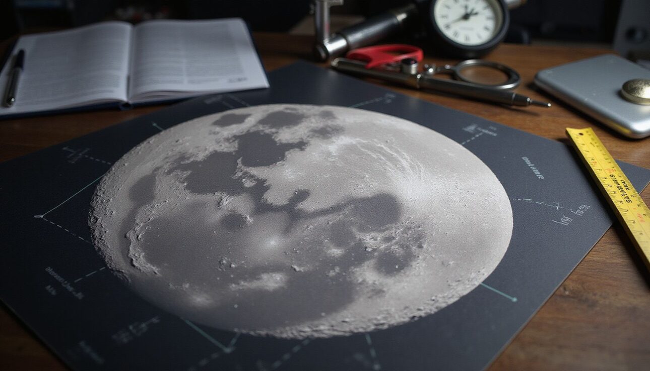
The agency has created three-dimensional height maps of the region covering an area of 30 by 30 kilometers around Tranquility Base. These maps are often exaggerated 60 times on the vertical axis (Z-axis) to make subtle elevation changes visible. The exaggeration helps geologists understand the terrain and explain why Armstrong had to pilot the Lunar Module manually to avoid hazards during descent.
The most notable nearby feature is West Crater, a significant lunar impact crater roughly 190 meters across that posed a real threat during landing. Mission planners had included West Crater in their target ellipse calculations, but Armstrong recognized during the final approach that the original landing zone contained too many boulders and craters from West Crater’s ejecta blanket. He flew the Lunar Module further west, landing safely approximately 550 meters west of West Crater. This quick decision—made under extreme pressure with fuel running low—saved the mission.
Feature
Description
Significance
Mare Tranquillitatis (Sea of Tranquility)
Large basaltic plain formed by ancient volcanic activity
Selected for its relatively smooth, safe terrain
Tranquility Base coordinates
0.67408°N, 23.47297°E
Most precise scientific measurement of landing position
West Crater
Nearby impact crater (~190 m diameter) avoided during descent
Commanded by Neil Armstrong, piloted by Buzz Aldrin
Historic spacecraft that achieved first crewed lunar landing
Laser ranging retroreflector
Instrument left on the Moon by the astronauts
Used for decades to refine landing site coordinates
Why Armstrong Had to Take Manual Control
During the automated descent toward the Sea of Tranquility, Armstrong noticed something alarming. The computer was guiding the Lunar Module toward a boulder-filled area—exactly the kind of hazard that could flip or damage the spacecraft. With fuel running critically low, Armstrong took manual control and flew the Eagle further west, away from the dangerous zone.
This moment, captured in mission recordings and later detailed in Armstrong’s accounts, represents one of the most nerve-wracking seconds of the entire Apollo program. Mission control in Houston was simultaneously watching fuel levels drop and hearing Armstrong’s calm but urgent communications, all while sorting through a series of unfamiliar computer program alarms that hadn’t come up in simulations. The Lunar Module’s descent engine had only seconds of fuel remaining when Armstrong found a safe, relatively level spot and set down.
The boulder field Armstrong avoided wasn’t discovered by accident. Prior surveys had identified it, but the automated guidance system’s target zone wasn’t ideal. This is why human pilots—not just computers—were essential to Apollo 11’s success. The combination of automated systems for most of the descent and human judgment for the final critical moments proved to be the right approach.
Comparing the Landing Site to Other Apollo Missions
The Sea of Tranquility was unique among Apollo landing sites. After Apollo 11’s success, NASA sent five more crewed missions to the Moon (Apollo 12, 14, 15, 16, and 17). Each subsequent mission landed in different locations, exploring different lunar terrains and geology. Yet Tranquility Base remains special—it was first, and its relatively safe, accessible terrain made it an ideal proving ground for human lunar exploration.
Apollo 12 landed in the Ocean of Storms, a region with slightly different geological characteristics. Apollo 14 targeted the hilly Fra Mauro region. Apollo 15, 16, and 17 ventured to the Moon’s rim areas and highlands, where the terrain was more dramatic and the science more complex. Each mission expanded human knowledge of the Moon, but none carried the symbolic weight of being the first.
FAQ
Q: How far was Apollo 11 from its intended landing spot?
Apollo 11 landed several kilometers from its originally intended landing site. Due to a navigation error that threatened a touchdown in a boulder-filled area near West Crater, Neil Armstrong took manual control and flew the Lunar Module Eagle to a safe spot roughly 550 meters west of West Crater itself.
Q: When did Apollo 11 land on the moon?
Apollo 11 touched down on July 20, 1969, at approximately 20:17 UTC, which corresponds to about 4:17 PM Eastern Daylight Time. Neil Armstrong and Buzz Aldrin piloted the Lunar Module Eagle while Michael Collins orbited above in the Command Module Columbia.
Q: Can you see Apollo 11 landing site with a telescope?
No, the Apollo 11 landing module and flag cannot be seen with Earth-based telescopes, even the largest ones. The descent stage measures only about 4 meters wide, and footprints are mere centimeters—far too small for ground-based optical instruments. You would need a telescope with an aperture of roughly 200 meters to resolve such small objects. NASA’s Lunar Reconnaissance Orbiter, orbiting just tens of kilometers above the surface, captures crystal-clear images of the landing site and equipment left behind.
Q: What craters are near the Apollo 11 landing site?
West Crater is the most notable feature near Tranquility Base, located approximately 550 meters to the east. Armstrong successfully avoided landing there during descent. A much smaller crater, Little West, sits about 60 meters east of the landing point and was the destination of Armstrong’s short solo walk during the moonwalk. Other nearby craters include Sabine D, Moltke, Sabine, and Ritter, all tens of kilometers away. Several smaller craters were also named after mission personnel, including Armstrong, Collins, and Aldrin.
Q: Did Apollo 11 land safely on the moon?
Yes, Apollo 11 landed safely after Armstrong manually piloted the Lunar Module past the dangerous boulder field near West Crater. Armstrong announced over the communication system, “Houston, Tranquility Base here. The Eagle has landed.” The crew successfully walked on the Moon, collected samples, and returned to Earth, splashing down safely in the Pacific Ocean on July 24, 1969.
Q: Who walked on the moon during Apollo 11?
Neil Armstrong and Buzz Aldrin walked on the Moon, with Armstrong becoming the first human to step onto the lunar surface approximately six hours after landing. Aldrin joined him nineteen minutes later. Michael Collins remained in lunar orbit aboard the Command Module Columbia during their time on the surface, an often-overlooked role that was absolutely critical to mission success.
Q: What is the latitude and longitude of Tranquility Base?
Tranquility Base is located at approximately 0.674°N latitude and 23.473°E longitude. More precise scientific measurements cite 0.67408°N and 23.47297°E. In degrees, minutes, and seconds format, the coordinates are approximately 00°40′27″N and 23°28′23″E. The site sits in the southwestern corner of Mare Tranquillitatis, on the lunar surface.
My Experience With Where Did Apollo 11 Land on the Moon?
I’ve spent considerable time researching and writing about space exploration, and the Apollo 11 landing coordinates never cease to fascinate me. What strikes most people isn’t the precision of the numbers themselves—it’s the realization that humans were navigating to exact coordinates on another world with 1960s technology. No GPS. No satellite networks. Just mathematics, physics, and an extraordinary amount of human courage.
The details around Armstrong’s manual intervention during descent are what really get me. Every time I read about those final seconds with fuel reserves plummeting, I’m reminded that space exploration has always been fundamentally about humans making real-time decisions under impossible pressure. The automated systems did their job beautifully—right up until they needed to not do their job, and that’s when Armstrong’s judgment mattered most.
One thing I’ve learned through examining the landing site data is how instrumental the laser retroreflector has been for refining our understanding of Tranquility Base’s exact location. For over 50 years, scientists have been bouncing laser pulses off that reflector from Earth, and each measurement adds a layer of accuracy to the coordinates. It’s a humbling reminder that the Apollo missions weren’t just one-off achievements—they planted seeds of scientific inquiry that continue bearing fruit today.
What aspect of the Apollo 11 landing intrigues you most—the technical achievement of getting there, or what Armstrong and Aldrin discovered once they arrived?
Latest Updates
The Lunar Reconnaissance Orbiter continues to provide updated imagery of Tranquility Base with resolution that can resolve objects smaller than a meter. Scientists regularly publish refined measurements of the landing site based on this orbital data. In recent years, lunar scientists have renewed interest in Apollo 11 as humanity plans a return to the Moon with the Artemis program, studying the original landing site to understand long-term preservation of equipment on the lunar surface and to plan future exploration missions in the region.
Conclusion
The Apollo 11 landing at Tranquility Base represents one of humanity’s greatest achievements, not only in space exploration but in navigation, engineering, and problem-solving. Located at approximately 0.674°N latitude and 23.473°E longitude in the Sea of Tranquility, the site was carefully selected for its relatively flat terrain and surveyed extensively before Armstrong and Aldrin touched down on July 20, 1969. Armstrong’s manual intervention during the final descent—steering around West Crater and its boulder field—demonstrates that human judgment remains irreplaceable in exploration, even in an age of sophisticated automation.
The roughly 21.5 kilograms of lunar samples returned by the mission have shaped our understanding of the Moon’s geology for over five decades. The laser retroreflector left behind continues to serve as a precise reference point for measuring the Moon’s motion and for refining lunar coordinates. As NASA and international space agencies plan new lunar missions under the Artemis program, Tranquility Base will remain a landmark of inspiration—the place where humanity first set foot on another world and proved that the impossible was merely difficult.
References
NASA. (n.d.). Apollo 11 Mission Overview. NASA History. https://www.nasa.gov/history/apollo-11-mission-overview/
The Planetary Society. (n.d.). Apollo 11 Space Missions. The Planetary Society. https://www.planetary.org/space-missions/apollo-11
NASA Science. (n.d.). Apollo 11 Landing Site 3D Resources. NASA Science. https://science.nasa.gov/3d-resources/apollo-11-landing-site/
Lunar Reconnaissance Orbiter Camera. (n.d.). Apollo 11 Featured Site. LROC. https://lroc.im-ldi.com/featured_sites/59
The Moon Wiki. (n.d.). Apollo 11 Site/Statio Tranquillitatis. The Moon Wiki. https://the-moon.us/wiki/Apollo_11_Site
Wikipedia. (n.d.). West (lunar crater). Wikimedia Foundation. https://en.wikipedia.org/wiki/West_(lunar_crater)
Lunar and Planetary Institute. (n.d.). Apollo 11 Mission. LPI. https://www.lpi.usra.edu/lunar/missions/apollo/apollo_11/
Sarah Anderson . J
I’m the mom behind Wise Mom Blogger, where everyday creativity meets real-life motherhood. I share easy DIY crafts, cozy knitting and crochet projects, beginner-friendly sewing ideas, and family-tested recipes—plus quick baking hacks that make homemade feel doable on busy days.